Beach Conditions

Live Webcams

  • We are ReadyNew River Downtown (Live video feed, compliments of Marine Industries Association of South Florida)
  • Hilton Fort Lauderdale Beach ResortElbo Room Beach WebCam (Live video feed, compliments of Elbo Room Beach Bar)
reload video
private mode
open video on youtube

Click on the images above to view live cameras along Fort Lauderdale Beach and the New River near Downtown. Thank you to Marin Industries Association of South Florida and Elbo Room Beach Bar for the live streams.


Expand any of the sections below by clicking on it to see current conditions.  Please call our Beach Conditions Hotline at 954-828-4597 for more information. Enjoy our beautiful beach and stay safe!

Date
Weather Forecast
Marine Forecast
Ocean Water Conditions
Intracoastal Water Conditions
Water Temperature (Ocean)
Air Temperature
High Tide
Low Tide
Wind Direction/Speed
Sea Pests
Warning Flags
Inland Waterway Quality
Regional Waterway Quality
Watersport Activity Areas

National Hurricane Center

  • NHC Atlantic Outlook


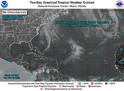
    Atlantic 2-Day Graphical Outlook Image
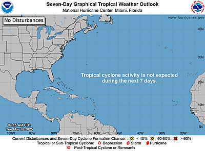
    Atlantic 7-Day Graphical Outlook Image


    ZCZC MIATWOAT ALL
    TTAA00 KNHC DDHHMM

    Tropical Weather Outlook
    NWS National Hurricane Center Miami FL
    100 AM EST Sat Nov 23 2024

    For the North Atlantic...Caribbean Sea and the Gulf of Mexico:

    Tropical cyclone formation is not expected during the next 7 days.

    $$
    Forecaster Kelly
    NNNN


  • NHC Eastern North Pacific Outlook


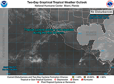
    Eastern North Pacific 2-Day Graphical Outlook Image
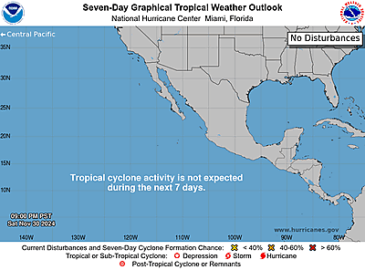
    Eastern North Pacific 7-Day Graphical Outlook Image


    ZCZC MIATWOEP ALL
    TTAA00 KNHC DDHHMM

    Tropical Weather Outlook
    NWS National Hurricane Center Miami FL
    1000 PM PST Fri Nov 22 2024

    For the eastern North Pacific...east of 140 degrees west longitude:

    Tropical cyclone formation is not expected during the next 7 days.

    $$
    Forecaster Kelly
    NNNN


  • CPHC Central North Pacific Outlook


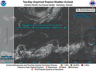
    Central North Pacific 2-Day Graphical Outlook Image
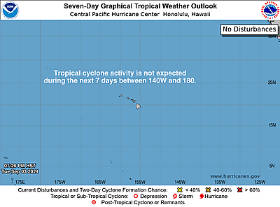
    Central North Pacific 7-Day Graphical Outlook Image


    ZCZC HFOTWOCP ALL
    TTAA00 PHFO DDHHMM

    Tropical Weather Outlook
    NWS Central Pacific Hurricane Center Honolulu HI
    800 PM HST Fri Nov 22 2024

    For the central North Pacific...between 140W and 180W:

    No tropical cyclones are expected during the next 7 days.

    $$
    Forecaster Bedal
    NNNN


NAVTEX Marine Forecast

  • NHC NAVTEX Marine Forecast (Miami, FL)


    000
    FZNT25 KNHC 230924
    OFFN04

    NAVTEX Marine Forecast
    NWS National Hurricane Center Miami, FL
    424 AM EST Sat Nov 23 2024

    ...Please refer to Coastal Waters Forecasts (CWF) available
    through NOAA Weather Radio and other means for detailed
    Coastal Waters Forecasts...

    Southeast Gulf of Mexico

    .SYNOPSIS...Moderate N winds over the E Gulf will diminish to
    gentle speeds today. Otherwise, high pressure and associated
    surface ridging will be the dominant features across the basin
    through Wed. Low pressure will start to develop along Mexico
    tonight, tightening the pressure gradient and leading to the
    development of moderate to fresh southerly winds over the
    western Gulf, continuing through early Mon. A weak cold front
    may move into the far NW Gulf early next week, then stall and
    weaken. A return of moderate to fresh southerly winds is
    expected again over the western Gulf Tue night through Wed
    night.

    .TODAY...N winds 10 to 15 kt. Seas 3 to 5 ft.
    .TONIGHT...NE winds 5 to 10 kt. Seas 3 ft.
    .SUN...NE to E winds 5 to 10 kt. Seas 2 ft or less.
    .SUN NIGHT...NE to E winds 10 to 15 kt. Seas 2 ft or less.
    .MON...NE to E winds 10 to 15 kt. Seas 2 ft or less.
    .MON NIGHT...NE winds 10 to 15 kt. Seas 3 ft.
    .TUE...N to NE winds 10 to 15 kt. Seas 3 ft.
    .TUE NIGHT...NE winds 10 to 15 kt. Seas 3 ft.
    .WED...NE to E winds 10 to 15 kt. Seas 3 ft in the morning,
    subsiding to 2 ft or less.
    .WED NIGHT...E to SE winds 5 to 10 kt. Seas 2 ft or less.

    Within 200 nm east of the coast of Florida

    .SYNOPSIS...A cold front extends from 31N62W SW to the Turks and
    Caicos where it stalls to E Cuba. A reinforcing cold front
    extends from 31N66W SW to the central Bahamas with fresh to strong
    winds ahead and behind it and over the waters N of 28N between
    58W and 77W. The reinforcing front will merge with the leading
    front today, extend from 31N57W to 23N64W by this evening and move
    E of the area by Sun evening. Fresh to strong winds will continue
    to affect the SW subtropical waters N of 27N through Sun, however
    rough seas will subside below 12 ft by late Tue. The next front
    will enter the NE Florida offshore waters Tue night and lift N of
    the area late Wed.

    .TODAY...NW to N winds 10 to 15 kt S of 27N, and NW 15 to 20 kt N
    of 27N. Seas 3 to 5 ft.
    .TONIGHT...N to NE winds 5 to 10 kt S of 27N, and N 5 to 10 kt N
    of 27N. Seas 3 to 4 ft.
    .SUN...S of 27N, NE to E winds 5 to 10 kt. N of 27N, N to NE
    winds less than 5 kt, shifting to E in the afternoon. Seas 3 ft
    in the morning, subsiding to 2 ft or less.
    .SUN NIGHT...NE to E winds 10 to 15 kt S of 27N, and E to SE 5 to
    10 kt N of 27N. Seas 2 ft or less.
    .MON...E winds 10 to 15 kt. Seas 2 ft or less.
    .MON NIGHT...E winds 10 to 15 kt. Seas 2 ft or less.
    .TUE...N to NE winds 10 to 15 kt. Seas 2 ft or less.
    .TUE NIGHT...N to NE winds 10 to 15 kt. Seas 3 to 4 ft.
    .WED...NE winds 10 to 15 kt. Seas 3 to 4 ft.
    .WED NIGHT...E winds 10 to 15 kt. Seas 3 to 4 ft.